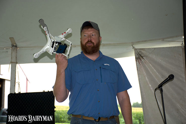
In agriculture, we have seen tremendous advancements in the use of technology. During his presentation at the UW-Discovery Farm’s “Soil, Water, and Big Data Field Day,” Brian Luck reminded the audience that we’ve come a long way from the initial use of GPS in the early 1990s. Today, some farms have access to variable rate seeding, continuous monitoring, and unmanned aerial vehicles.
“We’ve come a long way in a little more than 20 years,” said Luck, an agricultural engineer with the University of Wisconsin-Madison.
One downfall of technology is knowing what to do with the data.
At the field day held in Janesville, Wis., Luck explained that mountains of data are being collected but underutilized because farmers shoulder the burden of reformatting, organizing, uploading, storing, and transmitting it.
“Good data in, good analysis out,” was Luck’s recommendation. “If you’re collecting data, make sure you’re doing it right,” he said.
Luck spent time talking about unmanned aerial vehicles, or UAVs. While we are still learning exactly how to utilize them regularly on farms, Luck said, “UAV data collection will provide us with more information about our crops than we have ever had before.”
For farms that want to venture into UAV ownership, it is important to note that the FAA (Federal Aviation Administration) regulations that came out a year ago must be followed when UAVs are used for business use, and anything agricultural is considered business use.
Some of the regulations are as follows:
- Remote Pilot in Command license is required.
- Visual line of sight must be maintained.
- Maximum altitude is 400 feet.
- Daylight operation only.
- Maximum speed is 100 miles per hour.
- Owners must report to the FAA within 10 days any operation that resulted in serious injury, loss of consciousness, or property damage $500 or greater.
Failure to follow these regulations could include warnings, education, and/or fines up to $11,000 per incident.
(c) Hoard's Dairyman Intel 2017
August 21, 2017


