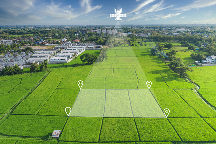
Though we don’t see them and may only rarely think about them, there are thousands of satellites — the current approximation is more than 4,500 — circling our globe right now. They collect data that is used for everything from informing scientists and supporting military programs to giving us our daily weather reports and navigation instructions. Now, a few are also being used to help dairy farmers better manage their businesses.
Regular monitoring of pasture growth is a must for grazing dairies to keep the land, forages, and cows healthy and productive. This time-consuming task can be made simpler with the use of biomass detectors for utility vehicles or even drones, but those tools still require labor to operate the machinery and interpret the data. That’s where a team from Organic Valley cooperative imagined satellites could fit in, and by partnering with Planet Labs, one of the largest operators of private satellites, that vision has become a reality.
A pilot program was recently completed that gave 20 Organic Valley members access to pasture reports generated from groups of satellite images taken of their paddocks to measure biomass. “The idea of it is to monitor regrowth to see which paddocks are ready for grazing next, if there is excess forage we can harvest for stored feed, or importantly, are we overgrazing?” described Organic Valley veterinarian Greg Brickner.
Private satellites provide more frequent images, and that was key to this project, Brickner described. Barring clouds, Planet’s tools can take images nearly every day to help their clients, which include other agricultural groups. On the dairy side, they are happy to be developing a tool that Organic Valley estimates will help their farmers improve pasture utilization by 20%. “I think that’s an incredible increase in sustainability and also in equity for the growers,” said Misty Tucker, Planet’s global agricultural industry principal.
Through the statistical models Organic Valley has developed to use with the satellite images, a simple two-page report is generated. The first page contains a bar graph ranking the farm’s paddocks from most to least biomass, along with identifying target dry matter. The system is not looking to detail forage species, Brickner noted, but to provide pure information on pasture growth levels. The second page of the report provides the raw imagery, so farmers may be able to pinpoint areas that might need fertilizer, water, more rest, or other attention.
Because biomass is always changing, having a report like this every week will help farmers take better care of their land. Most pastureland is overgrazed, Brickner believes. “Seeing how pastures are recovering two, three, or four weeks out is very hard to do with your eyeball. We’re really good at seeing if this pasture we’re going to graze today or tomorrow or the next day is ready, or if we’re overgrazing, but improving our perception of those further out paddocks is really where the beauty is,” said Brickner. “Rather than reacting, we’re making better decisions earlier on.”
For cows, the benefit is better, more plentiful forage by knowing which low growth pastures to avoid. “It’s harder to estimate dry matter in the pasture than it is in the TMR mixer where you’ve got a scale. Maintaining optimum dry matter intake in grazing cattle is just as important,” he emphasized.
With the pilot program complete, the system will be expanded to 100 Organic Valley farms, and then offered to its entire membership, where farms will have the choice to opt in to receiving the reports. Other than providing a map of their farm with paddocks labelled, there is no labor cost to the farmer. That was the goal of the program, as labor has always been the problem with regular pasture management for graziers, said Brickner. Satellite images provide a simpler way to get the information that can help these dairies improve their forage quality and, consequently, cow health.


